

 DE
 EN
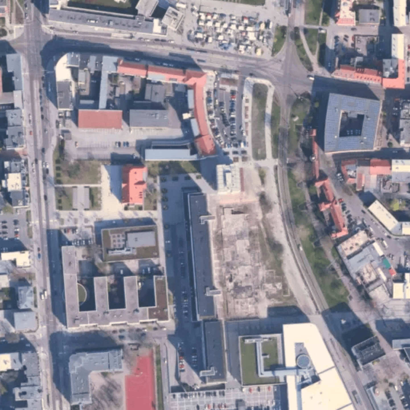
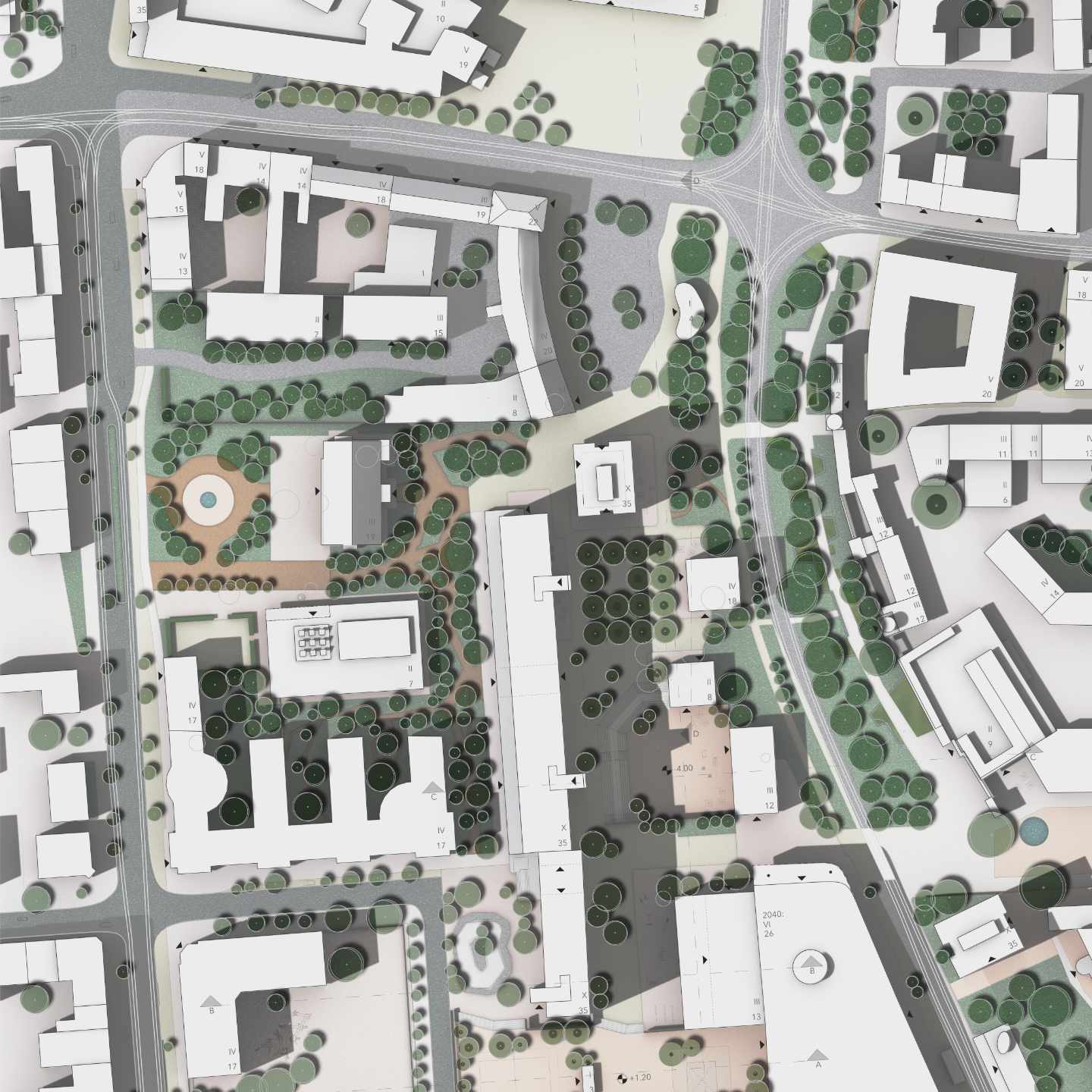
A site plan in three steps
- Pick the site. Search for a place and set the area, with no installation and no GIS knowledge.
- Edit. Compare the plan with the aerial photo, add or delete objects, adjust colours and lines.
- Download. As PDF for print, SVG for graphics software or DXF for CAD.
Features
Automatic site plans
basemap.de, ALKIS parcels, municipal street and tree data and state aerial photos become a plan with separate layers.
2D and 3D editor
Check, draw and style objects, optionally with your own plans as PDF, image or SVG. The 3D view can be exported as an image.
Presets
Apply ready-made looks in one click and save your own style for the next plan. More about presets
Tree AI
Detects trees in the aerial photo and proposes them in the editor. The model runs locally in your browser, and you decide which proposals stay. What AI does for a site plan
Cadastre view
Select parcels, add up official areas, read the actual land use and output everything as a PDF report.
LCA view
Derive first environmental metrics such as global warming potential from the plan geometry and output them as a PDF report, as a pre-study in early design.
Export
PDF, SVG and DXF: editable vectors for further work in graphics and CAD programs.
Teams and cloud projects
Save plans in your account, continue later and work on them together as a team.
Who TerraSight is for
Architecture students
The site plan comes at the start of almost every design project. Less time finding data and tracing means more time designing, without licence costs for several specialist programs and on any computer.
Architecture and planning offices
Competitions and acquisition are often unpaid work. A quick, clean base helps, and the DXF export carries it on in your usual CAD.
Where the data comes from
- Map: basemap.de by the German federal and state governments.
- Cadastre: ALKIS services of 15 federal states. For Bavaria, no open vector service is currently available.
- Aerial photos: Digital orthophotos of the federal states.
- Street spaces: Surveyed surfaces from Berlin, Hamburg, Aachen and Rostock. Elsewhere TerraSight generates the street cross-section itself.
- City trees: Tree registers from Berlin and Potsdam.
- In addition: OpenStreetMap as well as geodata from Austria (BEV) and Switzerland (geo.admin.ch), where connected.
What TerraSight does not replace
TerraSight does not produce an official site plan or a certified cadastral extract. The Tree AI makes proposals that must be reviewed. The LCA view does not replace a life-cycle assessment under EN 15978 or proof of compliance under GEG, QNG or DGNB. What a site plan for a building application must contain
Status and next steps
TerraSight is online as an open beta and currently free to use. For later commercial use there is a provisional pricing model. This is what we are working on next:
- Training the Tree AI further on the official aerial photos of the federal states.
- Growing the LCA view step by step into an early-design life-cycle assessment using material data from ÖKOBAUDAT.
- Adding an IFC export for BIM workflows.
We present new features on the TerraSight blog — is something missing? Write to us.