 DE
 EN
Our Team
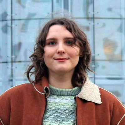
Ruby Radermacher
Head of Research & Development
Ruby leads our Research & Development division with specialised expertise in sustainability and environmental sciences. As an international student in Environmental Resource Management at BTU Cottbus-Senftenberg, she researches innovative AI applications for environmental monitoring purposes.
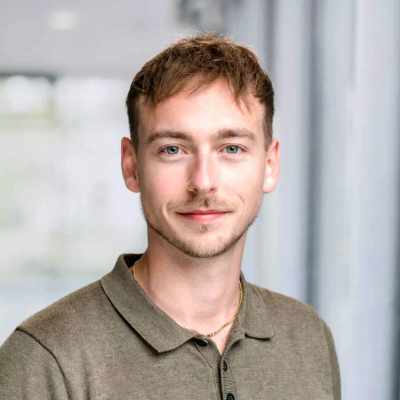
Falk Henri Dippolter
Chief Operating Officer
Falk leads the company's operations while serving as our brand ambassador, representing TerraSight externally and developing strategic business relationships. His extensive project management experience makes him the ideal executive to guide our growing company.
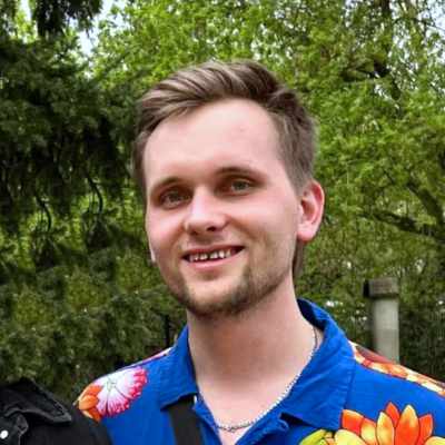
Timo Frederik Springfeld
Chief Technology Officer
Timo serves as our Chief Technology Officer. Throughout his architecture studies he increasingly focused on digital design. His goal is to leverage machine learning to streamline design processes and develop tools that simplify daily workflows in the construction and planning industry.